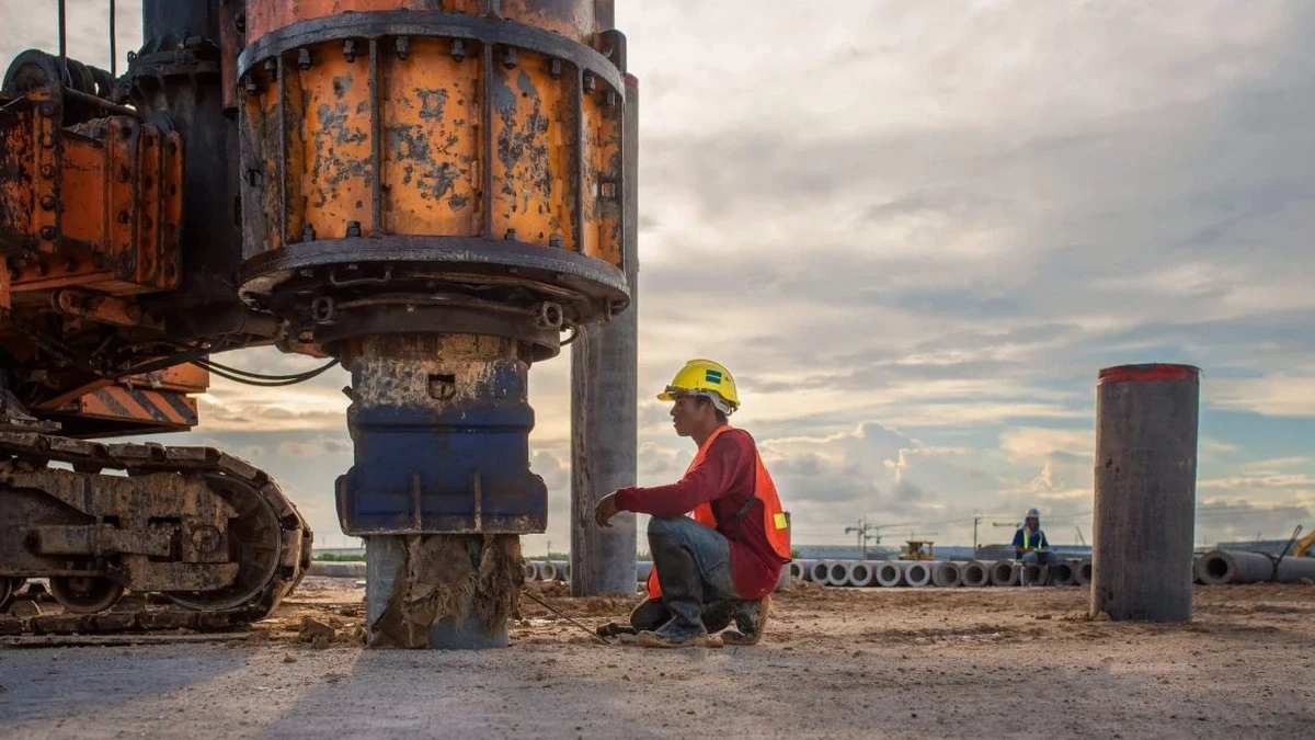
Milwaukee’s freeze-thaw cycles and lake-effect moisture accelerate weathering of the shallow glacial deposits that blanket the metro area. That’s why we run MASW surveys right when the ground thaws—spring saturation changes shear wave velocity enough to shift a site class from C to D if you test at the wrong time. Our field crew sets up 24- to 48-channel spreads across parking lots, brownfields, and infill parcels along the Menomonee Valley, where 20 to 40 feet of anthropogenic fill sit over lacustrine clay. We feed the dispersion curves through inversion routines that resolve Vs profiles down to 30 meters, giving you the VS30 number the building department requires under ASCE 7 and the 2024 IBC. If your borehole program hits refusal on cobbles, the seismic refraction survey can map bedrock depth where the MASW alone loses resolution at the impedance contrast.
VS30 is not a layer average—it’s the time-weighted harmonic mean of the top 30 meters. One soft lens at 5 meters pulls the number down harder than 15 feet of dense till.
Local geotechnical context
Milwaukee pushed its grid west and south across a mix of glacial till, lake plain, and drained marshland, so two adjacent lots can have completely different velocity profiles. We have seen a downtown site score VS30 of 380 m/s while a parcel four blocks away on old riverbed sediment measured 210 m/s—that gap changes seismic base shear by over 30% and can force a costly foundation upgrade. Skipping the survey or running too short an array yields a VS30 that misrepresents the deep clay, and the plan reviewer will reject it. The most expensive mistake we see is contractors who assume bedrock is shallow because a neighbor hit limestone at 25 feet; in the Menomonee Valley, buried valleys drop bedrock past 150 feet, and the resulting site period shift catches engineers off guard.
Quick answers
What does a MASW survey cost on a typical Milwaukee infill lot?
For a single-family or small commercial parcel with one array setup, our Milwaukee MASW packages run from US$1,600 to US$2,750. The spread depends on access constraints, number of shot locations, and whether we need passive-source supplementation to reach 30 meters where the active-source signal fades. Sites with heavy asphalt or buried utilities that require air-knife potholing add minor mobilization cost.
How long does the field work and reporting take?
Field acquisition for a single array takes about two hours with a two-person crew. We process the data the same day and deliver the draft Vs profile within 48 hours. The signed final report with the site class letter is typically out in three business days. Rush turnaround is available if you are up against a permit deadline.
Can you run MASW on a paved site without breaking the asphalt?
Yes. We bolt geophones to small aluminum base plates or use a thin sand coupling layer directly on the pavement. The high-frequency roll-off is a bit sharper than on soil, so we bump the sampling rate and stack more shots to keep the dispersion image clean. The IBC accepts pavement-coupled data as long as the Vs profile meets the signal-to-noise criteria.
What if my site is too small for a long array?
We use a tighter receiver spacing—down to 3 feet—and run multiple overlapping spreads with a common midpoint to stitch a longer virtual array. If the parcel is still too tight to reach 30 meters of penetration, we supplement with passive-source recordings using ambient traffic and industrial noise processed through the spatial autocorrelation method. That extends the dispersion curve to lower frequencies and keeps the VS30 defensible.