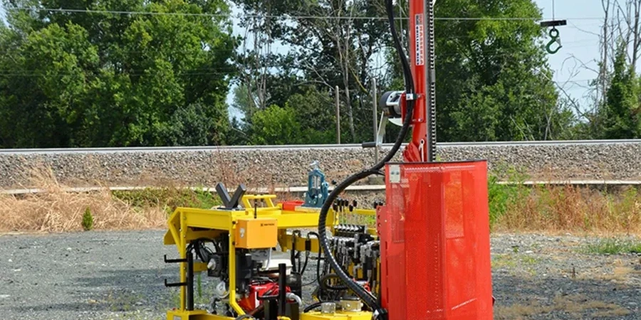
Milwaukee's subsurface is dominated by glacial till, lacustrine clay, and the underlying Niagara Dolomite, with bedrock depth varying from less than 10 feet near the lakefront to over 100 feet inland. The Standard Penetration Test (SPT) remains the most practical method for logging these complex soil profiles. We run the SPT per ASTM D1586 using a safety hammer with calibrated energy ratio, recording blow counts every 2.5 feet through the overburden. N-values in the Estuarine clay units often fall below 8 near the Menomonee Valley, requiring careful interpretation for settlement analysis. For deep fill zones around the Port of Milwaukee, combining SPT data with a CPT test refines the stratigraphic boundary between anthropogenic material and natural deposits. Our field crews have extensive experience navigating tight urban sites in Walker's Point and the Third Ward.
Corrected SPT N60 values in Milwaukee's glacial till typically range from 12 to 35 above the water table, dropping significantly in saturated lacustrine clay.
Quick answers
What is the typical cost of an SPT boring in Milwaukee?
For a single SPT boring to 30 feet depth in the Milwaukee area, the cost ranges from US$480 to US$720, which includes mobilization within the city, the drilling crew, split-spoon sampling, and a factual data report with N-values and soil descriptions. Deeper borings, difficult access sites, or multiple borings per day affect the unit rate.
How deep do SPT borings need to go for a typical Milwaukee building?
The IBC requires borings to extend through all compressible strata and at least 10 feet into competent bearing material. In Milwaukee, where bedrock is shallow near the lake, 30 to 50 feet is common; inland sites with thick glacial deposits may require 60 to 80 feet to pass through the soft lacustrine clay.
How do you handle groundwater during SPT drilling?
The driller records the water level encountered during boring and again after 24 hours for a stabilized reading. In Milwaukee, the groundwater table often sits within 5 to 10 feet of the surface near the rivers and lake. We use hollow-stem augers to keep the hole open and prevent caving in saturated sand layers.
Can SPT data be used to classify the seismic site class?
Yes, the IBC and ASCE 7 use the average N-value in the upper 100 feet to assign Site Class A through F. In Milwaukee, corrected SPT N60 values from multiple borings are averaged over the top 100 feet to determine if the site falls into Site Class C (dense soil/soft rock) or Site Class D (stiff soil), which directly influences the seismic design spectrum.